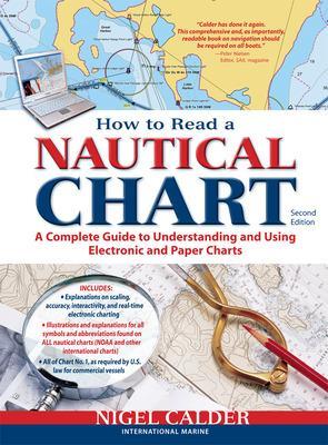
How to Read a Nautical Chart, 2nd Edition (Includes ALL of Chart #1)
 portes grátis
How to Read a Nautical Chart, 2nd Edition (Includes ALL of Chart #1)
Calder, Nigel
McGraw-Hill Education - Europe
06/2012
272
Mole
Inglês
9780071779821
15 a 20 dias
553
Descrição não disponível.
Índice não disponível.
Este título pertence ao(s) assunto(s) indicados(s). Para ver outros títulos clique no assunto desejado.
navigation, Nigel Calder, electonic charts, GPS Navigation, boater, charts, marine writers, Chart No. 1, nautical chart, electronic chart, US Power Squadron, chart data, how to read charts, GPS, raster, vector, integrated onboard navigation systems, radar overlays, AIS, Wiki Revolution, 2D-cartography, 3D-technology, chartplotter, interactive cruising guides, electronic navigation, ECDIS, boat navigation, boating, sailing, how to navigate, chartplotters, handheld GPS, smart phone navigation, powerboating, rules of the road, mapmaking, map reading, chart symbols, piloting

